United Kingdom
Isles of Scilly Driving practice routes
Practise driving on the streets of Isles of Scilly on a 3D map — free, in your browser, with nothing to install.
Open Isles of Scilly in RoadariumThe simulator opens on the city map, where you choose any route.
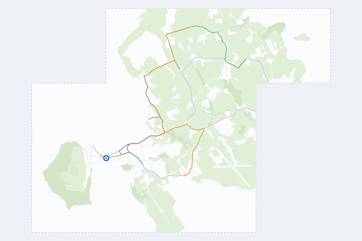
- 6Practice routes
- 7.9 miLength of all routes
- 0Different roundabouts
- 17Named streets
Route types
First drive
Quiet streets and simple junctions — a few easy turns
- Routes: 2
- Typical length: 1.5 mi
- Typical time: 5 min
Parking
A short drive that ends in a street with free kerbside bays
- Routes: 2
- Typical length: 1.1 mi
- Typical time: 4 min
Junctions
Give way, STOP and unmarked junctions on the side streets, with turns across the oncoming traffic — who goes first when there are no lights
- Routes: 2
- Typical length: 2.1 mi
- Typical time: 7 min
Streets on the routes
The streets the routes of Isles of Scilly use most.
- Porthloo Lane
- Telegraph Road
- Church Road
- Pungie's Lane
- Church Street
- Garrison Lane
- Higher Strand
- Hugh Street
- Ingram's Opening
- Old Town Road
- Parting Carn Lane
- Porthloo Hill
- Pump Road
- Silver Street
- The Parade
- Trench Lane
- Well Cross
How it works
Open Isles of Scilly in Roadarium.
Pick a route on the city map, or plan your own.
Drive it in 3D with traffic, signs and lights, then see what to work on.